Loading...
Way: Bahnhofstraße (886324074)
Version #2
Radverkehrsnetz BC, Ergänzungen anhand aktueller Mapillary-Fotos
Tags
| foot | use_sidepath |
|---|---|
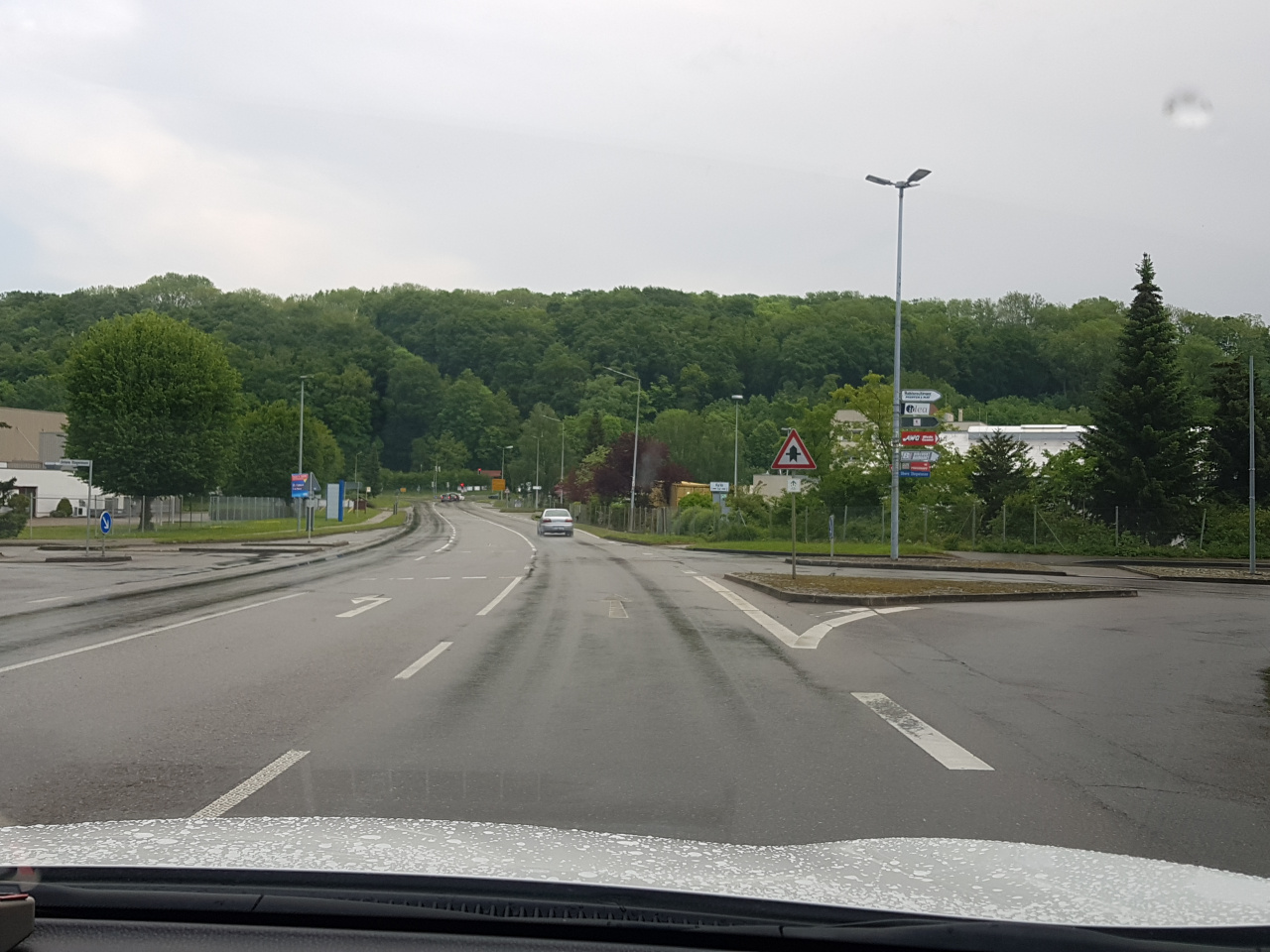
| highway | secondary |
| image | https://storage11.openstreetcam.org/files/photo/2019/5/25/lth/1458574_64b82_5ce915ad391e5.jpg |
| lanes | 3 |
| lanes:backward | 2 |
| lanes:forward | 1 |
| lit | yes |
| maxspeed | 50 |
| name | Bahnhofstraße |
| ref | L 251 |
| sidewalk | separate |
| source:maxspeed | DE:urban |
| surface | asphalt |
| survey:date | 2019-05-25 |
| turn:lanes:backward | left|through |
| zone:traffic | DE:urban |
Part of
5 relations
- Relation L 251 (104161)
- Relation Bus 2: Biberach (Riß) Fünf Linden => Birkenhard Schulstraße (2246478)
- Relation Bus 2: Birkenhard Schulstraße => Biberach (Riß) Fünf Linden (9159705)
- Relation Bus 252: Ochsenhausen Grieser => Biberach (Riß) ZOB/Bahnhof (11936988)
- Relation Bus 252: Ochsenhausen Grieser => Biberach (Riß) ZOB/Bahnhof (11936989)
Nodes
2 nodes
- 1188417079 (part of ways Obere Stegwiesen (102917100) and Bahnhofstraße (826850200))
- 7719493901 (part of way Bahnhofstraße (851860273))
Welcome to OpenStreetMap!
OpenStreetMap is a map of the world, created by people like you and free to use under an open license.
Hosting is supported by Fastly, OSMF corporate members, and other partners.
| https://openstreetmap.org/copyright | https://openstreetmap.org |
| Copyright OpenStreetMap and contributors, under an open license | |