
Improving landuse=residential in and around Kumasi #0001
Posted by Enock4seth on 19 May 2024 in English.Hello OSM World,
This is the first post in the Worst of OSM in Ghana series. I start with improving landuse=residential in Kumasi.
About 3 years ago someone mapping for an institution decided to randomly map a ton of residential landuse areas across Ghana. Some local contributors had lengthy message exchanges with them before they stopped to map.
Why? Because these landuse areas are either connected to some building or highway, etc…
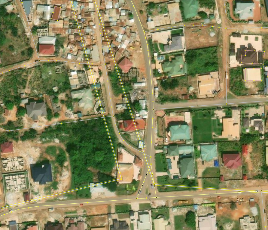 © OpenStreetMap Contributors. Screenshot from JOSM with Bing
Fast forward 2024, many of these ways still exist in OSM and interferes with new contributions. Kumasi was selected as the start of trying to reuse/delete/improve these landuse=residential because Sammyhawkrad have really put a lot of time into improving data coverage in Kumasi but these landuse=residential definitely throws him away.
In summary this is how I improved the data:
- First, I reached to active editors in this area about my planned mass modifications
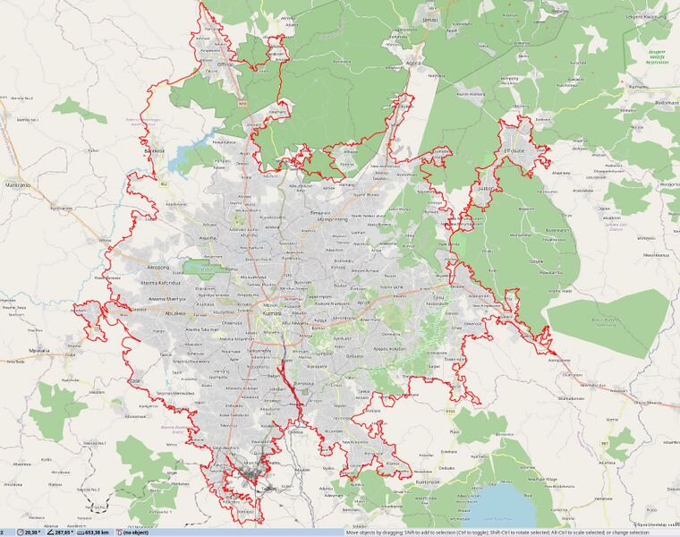
- Using JOSM, I drew a large area around Kumasi in a local layer
 © OpenStreetMap Contributors. Screenshot from JOSM with OSM Carto
 - Started splitting with
More tools → Split Object[ALT+X] - I then downloaded data from OSM separately and merged into local layer
- I tried to reuse existing ways as possible using
More tools → Replace Geometry[CTRL+SHIFT+G] (requires UtilsPlugin2) which sometimes resulted in issues and conflicts when I update data [CTRL+U]. Because a node was shared with a building or highway. - It took more hours than expected to complete this. At some points I could only delete than re-use.
- Finally, I uploaded the data when it’s assumed less mappers will be contributing in this area (somehow helps me to avoid some unexpected conflicts)
Notes
Massive remote mapping of features is much helpful when they don’t take all of local mappers time undoing your contributions, it is also demotivating.
There are many of these occurrences across the Ghana and likely somewhere else that needs clean up and more hands, I hope this summary inspires and is helpful for other local mappers to improve and contribute quality data.
If you are mapping in Ghana, Beware of imagery offsets and rapidly growing settlements not to add useless data.
Happy mapping!
Discussion
Comment from Mateusz Konieczny on 31 May 2024 at 08:49
Thanks for cleanup! landuse glued to roads is quite annoying.
In such case I would also consider mass deleting such dubious data - “Replace Geometry” is nice, but spending extra hours to fix low quality data may be not worth it. Especially when cleaning up after paid mappers who made low quality edits.
Comment from Enock4seth on 2 June 2024 at 06:18
I agree.