Using OpenStreetMap for Disaster Risk Reduction
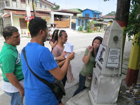
Posted by seav on 20 January 2014 in English. Last updated on 8 November 2018.Last November 5 to 7, I and a few other volunteer mappers from the OpenStreetMap Philippines community joined the Environmental Science for Social Change (ESSC) in training the local government of Guagua, Pampanga in contributing to and using OpenStreetMap with an eye for disaster risk reduction.
Read the rest of this piece on my blog.


Discussion